Geodetic applications, ocean sciences and engineering

Our unique involvement in Argos, Doris, and GNSS techniques allows us to apply our expertise to a growing portfolio of clients. Many industries require higher accuracy for operations than traditional global navigation satellite systems (GNSS) can provide.

Sensitive operations in agriculture, mining, oil and gas, construction, and maritime as well as space navigation may require centimeter accuracy, and can be critically impacted by imprecise or unreliable GNSS positions.

space weather

Space weather

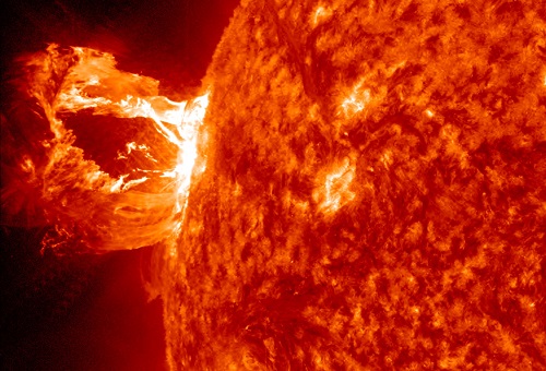
Although the Sun makes life on Earth possible, it is also a threat. Certain populations and infrastructures can be threatened by solar activity. Therefore, being able to predict solar proton eruptions is vital. Among all the international players involved in solar observation, CLS is the only company that produces an operational service.

CONTRIBUTING TO OPERATIONS SECURITY

As such, since 2008, CLS has been forecasting the risks of proton-related events that might disrupt or damage the Automated Transfert Vehicles (ATVs) of the European Space Agency during approach phases to the International Space Station, or during orbital maneuvers. In addition, CLS delivers bulletins to space operators: - forecasts of solar activity for the next 24 hours during the week preceding launches. - alerts in the event of potentially dangerous events occurring. In addition, solar radiation in the thermosphere can disrupt the satellite orbits that CLS calculates for CNES.

Read more

    gnss

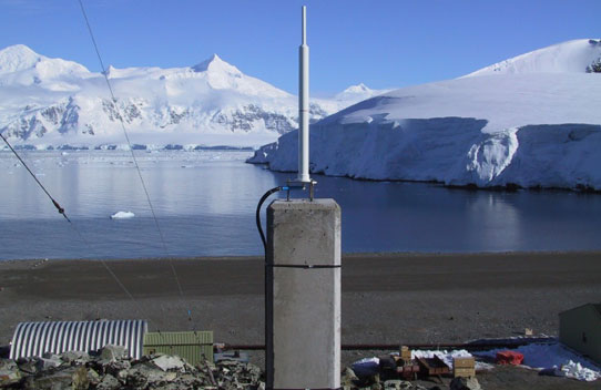
Our services : satellite positionning, Network positioning and Precise positioning

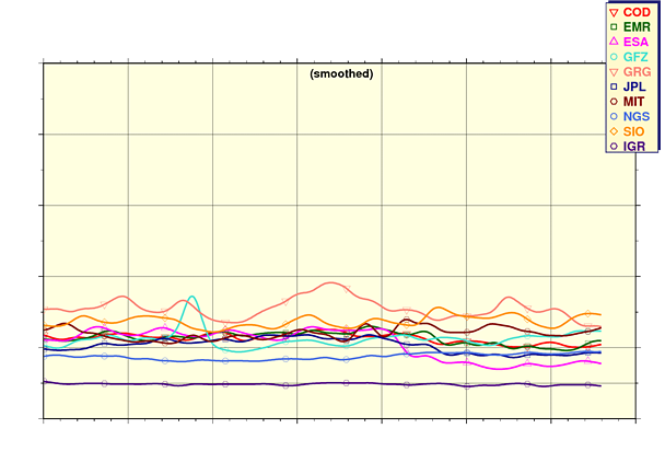
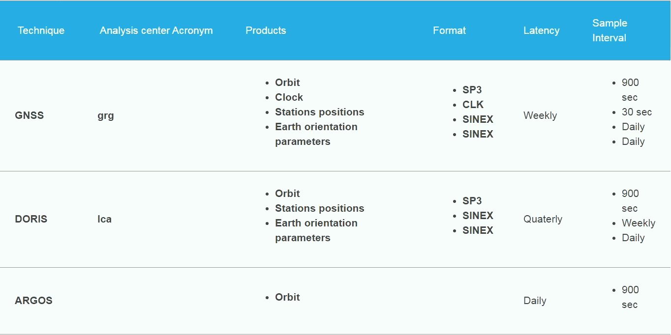
On behalf of CNES-GRGS and within the framework of the International Doris Service (IDS) and International GNSS Service (IGS) Analysis Center, CLS routinely process DORIS, GPS, GLONASS and Galileo data. Ephemerides of these satellites are delivered as output to IGS and IDS Data Centers on a weekly and quarterly basis, respectively.

On behalf of CNES and as the Analysis Center, DORIS and GNSS (GPS, GLONASS and Galileo) station positions are estimated on a quarterly and weekly basis, respectively. These products are delivered to International Doris Service (IDS) and International GNSS Service (IGS) Combination Centers for routine evaluation and combination.

CLS provides users with precise and accurate positioning using a single GNSS receiver both in static and kinematic mode. Through the use of precise orbit and clock products produced by the CNES-CLS International GNSS Service, it is possible to achieve centimeter positioning in static mode given a sufficient convergence period and under some assumptions such as good data quality (clear sky view, calibrated antenna…).

Products

gnss products

References

GRGS

Space Geodesy Research Group (GRGS)

A scientific consortium that brings together 12 French research teams. Each of these teams belong to national institutions that work in space geodesy.

IGS

International GNSS Service (IGS)

It provides the highest quality GNSS data, products, and services in support of the terrestrial reference frame and spatial applications.

GRG

International DORIS service (GRG)

An international service which provides a support, through DORIS (Doppler Orbitography and Radiopositioning Integrated by Satellite) data and products, to geodetic, geophysical, and other research and operational activities.

cnes logo

Centre National d’Etudes Spatiales (CNES)

Founded in 1961, the CNES is the government agency responsible for shaping and implementing France’s space policy in Europe.

argos system

Argos

A pioneer satellite-based system which has been operating since 1978. Argos is a unique worldwide location and data collection system dedicated to studying and protecting the environment.

logo cls

CLS

Since its creation in 1986, CLS has acquired expertise in all stages of satellite data production, including making recommendations to major international space agencies.

More informations ?

About precise positioning, satellite positioning, network positioning and space weather